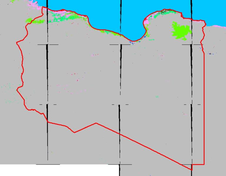
Label : Land useLand coverResolution 30 mLibya
Date: 2023-09-15
View counts: 329
Download Dataset: Log in
The accuracy evaluation of GlobeLand30 V2010 data was led by Tongji University. Extracting 80 maps from 853 global data and deploying over 150000 test samples, the overall accuracy of the GlobeLand30 V2010 data is 83.50%, with a Kappa coefficient of 0.78. This dataset contains ten main types of surface cover, namely arable land, forest, grassland, shrub land, wetland, water body, tundra, artificial surface, bare land, glacier, and permanent snow cover.
Comment list ( 0 )

