Login   |      Register
English    中文


ESA Libya land cover data for 2020


ESA Libya land cover data for 2020

Label :

Date: 2023-09-16

View counts: 314

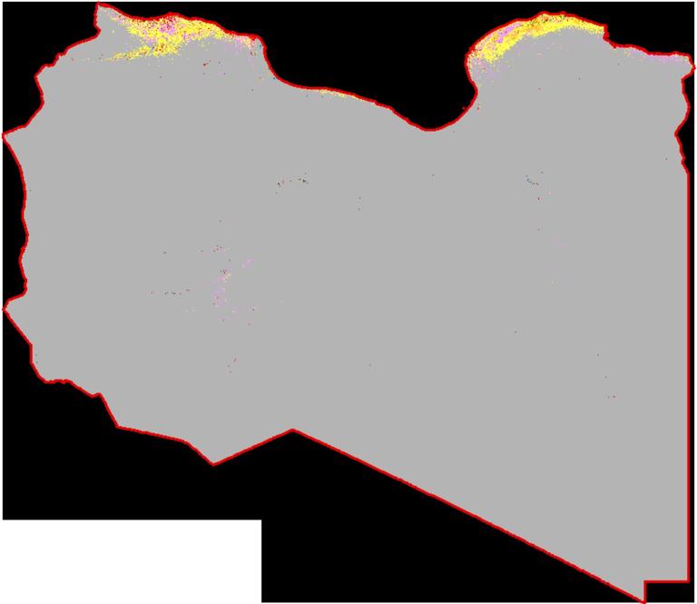
The ESA World Cover dataset is a 2020 global 10-meter land cover product with a resolution of 10 meters produced by ESA and a number of scientific institutions around the world, based on Sentinel-1 and Sentinel-2 data. The ESA Libya land cover data for 2020 dataset was clipped on this basis.

Title alternate
ESA Libya land cover data for 2020
Parent identifier
Remote sensing image
Topicategory
Geophysical
Language
English
Type
raster
Format
tif
Time begin
2020-01-01
Time end
2020-12-31
Creator
ESA
Publisher
IKCEST-DRR
Contributor
IKCEST-DRR
Organization
IKCEST-DRR
Operateson
IKCEST-DRR
Source
https://esa-worldcover.org/en

    Sign in for comments!

Comment list ( 0 )


Information evaluation