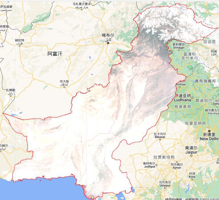
With the support of the GEE platform, Sentinel 2 images were screened, de-clouded, and synthesized throughout Pakistan from May 18 to June 10, 2022. The data includes four bands of red, green, blue, and near-infrared. It is divided into six storage areas: Gilgit Skardu, Panjab, Sandh, N.W.F.P.&F.C.T., Azad Kashmir, and Baluchistan, and each area has a compressed file. The image resolution is 10m.
Comment list ( 0 )

