J-WAFS researchers are using remote sensing observations to build high-resolution systems to monitor drought. “MIT is a place where dreams come true,” says César Terrer, an assistant professor in the Department of Civil and Environmental Engineering. Here at MIT, Terrer says he’s given the resources needed to explore ideas he finds most exciting, and at the top of his list is climate science. In particular, he is interested in plant-soil interactions, and how the two can mitigate impacts of climate change. In 2022, Terrer received seed grant funding from the Abdul Latif Jameel Water and Food Systems Lab (J-WAFS) to produce drought monitoring systems for farmers. The project is leveraging a new generation of remote sensing devices to provide high-resolution plant water stress at regional to global scales.
Growing up in Granada, Spain, Terrer always had an aptitude and passion for science. He studied environmental science at the University of Murcia, where he interned in the Department of Ecology. Using computational analysis tools, he worked on modeling species distribution in response to human development. Early on in his undergraduate experience, Terrer says he regarded his professors as “superheroes” with a kind of scholarly prowess. He knew he wanted to follow in their footsteps by one day working as a faculty member in academia. Of course, there would be many steps along the way before achieving that dream.
New ways to monitor drought
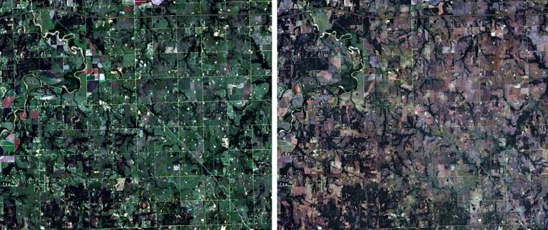
Terrer and Jiao are able to obtain a clearer picture of how drought is affecting plants by employing the latest generation of remote sensing observations, which offer images of the planet with incredible spatial and temporal resolution. Satellite products such as Sentinel, Landsat, and Planet can provide daily images from space with such high resolution that individual trees can be discerned. Along with the images and datasets from satellites, the team is using ground-based observations from meteorological data. They are also using the MIT SuperCloud at MIT Lincoln Laboratory to process and analyze all of the data sets. The J-WAFS project is among one of the first to leverage high-resolution data to quantitatively measure plant drought impacts in the United States with the hopes of expanding to a global assessment in the future.
Assisting farmers and resource managers
Every week, the U.S. Drought Monitor provides a map of drought conditions in the United States. The map has zero resolution and is more of a drought recap or summary, unable to predict future drought scenarios. The lack of a comprehensive spatiotemporal evaluation of historic and future drought impacts on global vegetation productivity is detrimental to farmers both in the United States and worldwide.
Terrer and Jiao plan to generate metrics for plant water stress at an unprecedented resolution of 10-30 meters. This means that they will be able to provide drought monitoring maps at the scale of a typical U.S. farm, giving farmers more precise, useful data every one to two days. The team will use the information from the satellites to monitor plant growth and soil moisture, as well as the time lag of plant growth response to soil moisture. In this way, Terrer and Jiao say they will eventually be able to create a kind of “plant water stress forecast” that may be able to predict adverse impacts of drought four weeks in advance. “According to the current soil moisture and lagged response time, we hope to predict plant water stress in the future,” says Jiao.
Sources:
MIT News
Provided by the IKCEST Disaster Risk Reduction Knowledge Service System
.
Comment list ( 0 )

