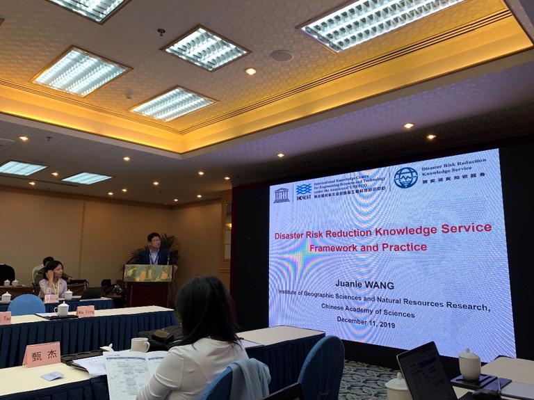
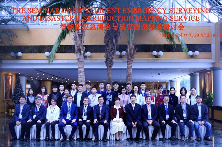
The seminar on intelligent emergency surveying and disaster risk reduction mapping service was held in Haikou on December 10-13, 2019. IKCEST Disaster Risk Reduction Knowledge Service System team attended this seminar and made a report on “Disaster Risk Reduction Knowledge Service framework and practice”.
The seminar on intelligent emergency surveying and disaster risk reduction mapping service was held in Haikou on December 10 - 13, 2019, Members of IKCEST Disaster Risk Reduction Knowledge Service team attended this conference. This conference addressed the Framework and Practice of Disaster Risk Reduction Knowledge Service.
On the conference, Prof. Juanle Wang, executive director of Disaster Risk Reduction Knowledge Service (DRRKS) made a report on “Disaster Risk Reduction Knowledge Service framework and practice” for introducing the background, methodology, applications online of DRR knowledge service, social media data mining experiment, mapping using remote sensing in the B&R area, and cooperation in the near future.
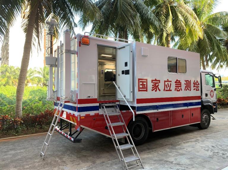
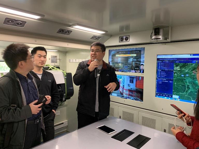
Focusing on the Hainan administration of surveying mapping and geoinformation, DRRKS team joined the academic tours on December 13, 2019, and visited the national emergency surveying and mapping field work vehicle with the introduction of routine operation methods from the staff.
The Seminar focused on the rapid perception, accurate surveying and mapping, intelligent analysis and forecasting and warning of geospatial information of natural disasters and urban emergency response management. The latest result is the discussion and exchange on the theoretical methods, technical products and application services related to intelligent emergency surveying and disaster risk reduction mapping service.
Comment list ( 0 )

