Welcome to the IKCEST
Login
|
Register
English
中文
Search
Advanced search
Navigation
Home
Document
Post
Reports
Newsletters
Data
Subject database for earthquake
Subject database for drought
Subject database for flood
Subject database for frozen
Subject database for heat wave
Subject database for wild fire
Subject database for ecology & environment
Subject database for urban
Subject database for social media mining
Subject database for hurricane disaster
Regional basic database for the Belt and Road
Regional disaster database for the Belt and Road
Regional database for China-Mongolia-Russia Economic Corridor
Regional database for China-Pakistan Economic Corridor
Regional database for Bangladesh-China-India-Myanmar Economic Corridor
Maps
China Historical Disaster
Biological Disasters
Geological Disasters
Earthquake Disasters
Meteorologic Disasters
Flood Disasters
Raster Data
Vector Data
Education
Tutorial for GIS
Disaster Knowledge
Presentation
Training Video
Reference report
Disaster news Video
Science Popularization
International Training
Subject-Catalogue
Organization
Experts
Website
Application
Information Aggregation
Application Using Web GIS
Scientific Data Visulization
Natural Science Research Work
Directory
Scholar
ALL
Earthquake
Flood
Drought
Geological disaster
Forest fire
Tsunami
Extreme heat wave
Typhoon
Disaster warning
Disaster risk reduction
Sichuan-Tibet Railway
Home
Training Video
Publish Data Data
Training Video
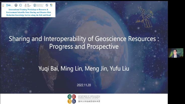
Earth Science Data Sharing and Interoperability: Progress and Prospective
Earth Science Data Sharing
2023
2024-01-15
Abstract: Earth science data resources have been greatly enriched, such as thousands of petabytes of Earth environment observatio...
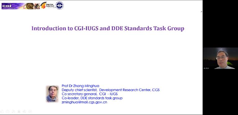
Introduction to commission for geoscience information of IUGS and progress of DDE standards
geoscience information
IUGS and progress of DDE standards
2023
2024-01-15
Abstract: 1.The organization, working groups and projects on geoscience information standards and achievements of CGI-IUGS and th...
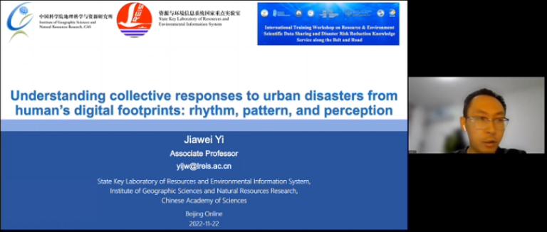
Understanding collective responses to urban disasters from human’s digital footprints: rhythm, pattern, and perception
urban disasters
human’s digital footprints
2023
2024-01-15
Abstract: In the era of big data, massive digital footprint data from crowd sources provide valuable observational data for stud...
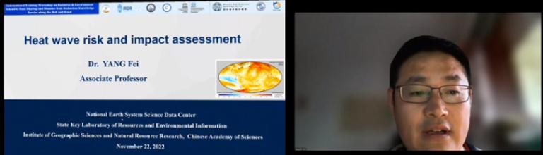
Heat wave risk and impact assessment
Heat wave
risk and impact assessment
2023
2024-01-15
Abstract: Under the climate change, heat waves seriously affect the productivity and daily life of human beings. Therefore, they ...
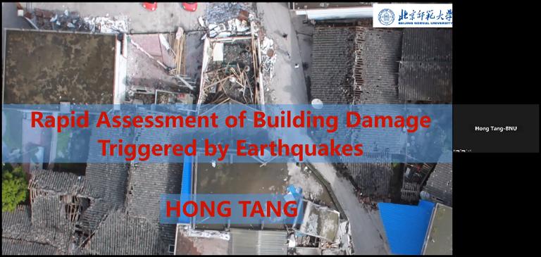
Rapid Assessment of Building Damage Triggered by Earthquakes
Building Damage
Earthquakes
2023
2024-01-15
Abstract: In this lecture, we will introduce two kinds way to rapidly assess building damage triggered by earthquakes, i.e., pre...
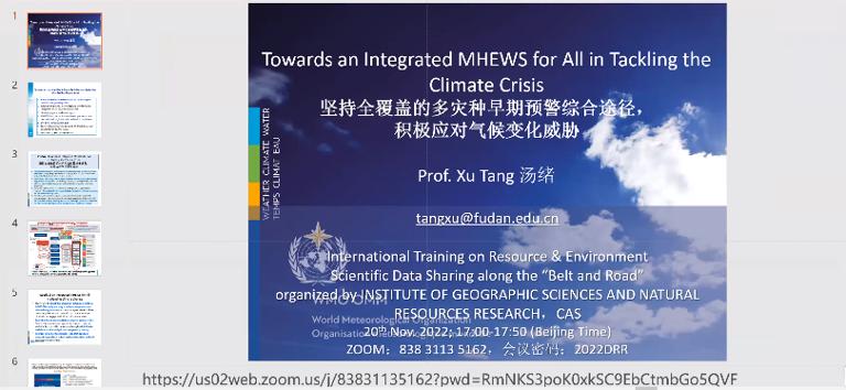
Towards an Integrated MHEWS for All in Tackling the Climate Crisis
MHEWS
Climate Crisis
2023
2024-01-15
Abstract: Early warning system is an important adaptive measure for climate change adaptation, using integrated communication sy...
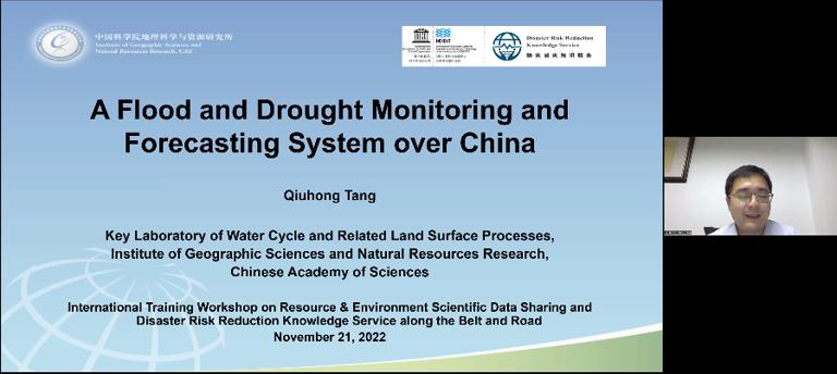
A Flood and Drought Monitoring and Forecasting System over China
Flood and Drought Monitoring
Forecasting System
2023
2024-01-15
Abstract: A flood and drought monitoring and forecasting system over China using satellite and modeling data has been developed. ...
Geospatial data ontology: the semantic foundation of geospatial data integration and sharing
Geospatial data ontology
semantic foundation
2023
2024-01-15
Abstract: Effective integration and wide sharing of geospatial data is an important and basic premise to facilitate the research a...
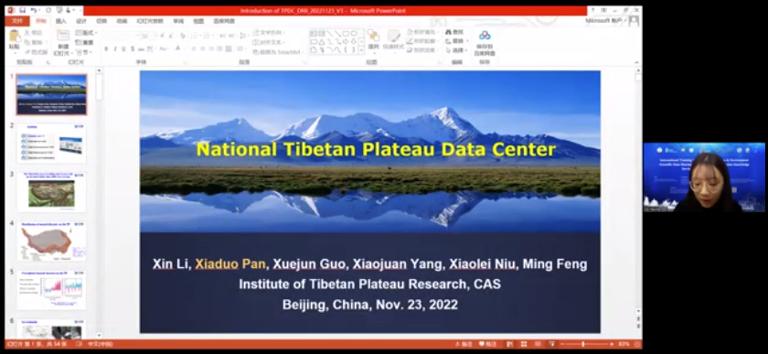
National Tibetan Plateau Data Center
Tibetan Plateau
Data Center
2023
2024-01-15
Abstract: The Tibetan Plateau, as the world's third pole due to its high altitude, is experiencing rapid, intense climate change,...
Progress in “BRI” and Collaborative Disaster Management in China-Pakistan Economic Corridor
“BRI”
Collaborative Disaster Management
2023
2024-01-15
Abstract: The “Belt & Road” Initiative (BRI hereafter) is a new platform for international cooperation proposed by the Chinese gov...
1
2
3
4
5
6
7
8
9
10
Next page
End
Most concern
Leaf Area Index (LAI): Field Measurements, Remote Sensing Estimation and Validation Studies(2015)
Resources, Environmental and Economic Patterns and Sustainable Development Modes of Silk Road Economic Belt(2015)
The disaster scene of zhouqu mudslide in gansu province
Ecosystem, Climate and Livehood
Spring Festival travel during ice disaster in 2008
Recent articles
2024-02-25:Earthquake Information of 88 km NNW of Tocopilla, Chile
2024-01-29:Earthquake Information of 128 km WNW of Aykol, China
2024-01-22:Earthquake Information of 129 km WNW of Aykol, China
2023-12-02:Earthquake Information of 19 km E of Gamut, Philippines
2023-11-22:Earthquake Information of 97 km E of Port-Olry, Vanuatu
Classified catalogue
Subject database for earthquake
Presentation
Training Video
Subject database for drought
Reference report
Subject database for flood
Subject database for frozen
Paper
Subject database for heat wave
Disaster news Video
Subject database for wild fire
Subject database for ecology & environment
Documents
Subject database for urban
Books
Journal
Subject database for social media mining
Data
Subject database for hurricane disaster
Portal
Regional basic database for the Belt and Road
Regional disaster database for the Belt and Road
Experts
Regional database for China-Mongolia-Russia Economic Corridor
Regional database for China-Pakistan Economic Corridor
Organization
Website
Regional database for Bangladesh-China-India-Myanmar Economic Corridor
Biology
Climatology
Geophysics
Hydrology
Meteorology
Technology
Data List
|
About
|
Contact Us
|
How to use
ICP备案号:京ICP备14021735号-1
© 2008 - 2022 IKCEST All rights reserved