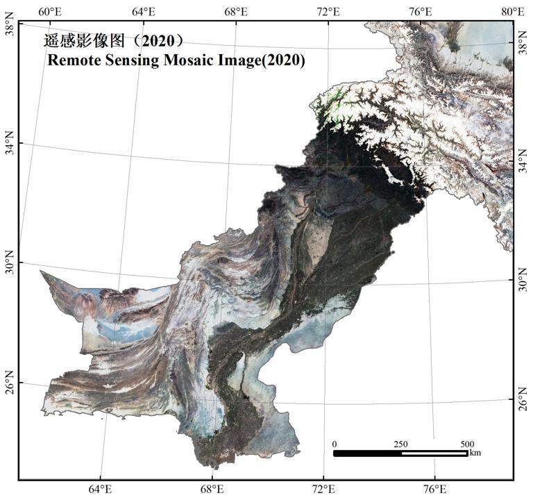
The data source is Landsat image data on the GEE platform. The data were obtained by de-clouding, clipping and compositing. Its spatial resolution is 1 km.
Comment list ( 1 )

The data source is Landsat image data on the GEE platform. The data were obtained by de-clouding, clipping and compositing. Its spatial resolution is 1 km.

