Welcome to the IKCEST
Login
|
Register
English
中文
Search
Advanced search
Navigation
Home
Document
Post
Reports
Newsletters
Data
Subject database for earthquake
Subject database for drought
Subject database for flood
Subject database for frozen
Subject database for heat wave
Subject database for wild fire
Subject database for ecology & environment
Subject database for urban
Subject database for social media mining
Subject database for hurricane disaster
Regional basic database for the Belt and Road
Regional disaster database for the Belt and Road
Regional database for China-Mongolia-Russia Economic Corridor
Regional database for China-Pakistan Economic Corridor
Regional database for Bangladesh-China-India-Myanmar Economic Corridor
Maps
China Historical Disaster
Biological Disasters
Geological Disasters
Earthquake Disasters
Meteorologic Disasters
Flood Disasters
Raster Data
Vector Data
Education
Tutorial for GIS
Disaster Knowledge
Presentation
Training Video
Reference report
Disaster news Video
Science Popularization
International Training
Subject-Catalogue
Organization
Experts
Website
Application
Information Aggregation
Application Using Web GIS
Scientific Data Visulization
Natural Science Research Work
Directory
Scholar
ALL
Earthquake
Flood
Drought
Geological disaster
Forest fire
Tsunami
Extreme heat wave
Typhoon
Disaster warning
Disaster risk reduction
Sichuan-Tibet Railway
Home
Maps
China Nature Disaster
,
Storm Flood
,
Drought and Hot
Text
×
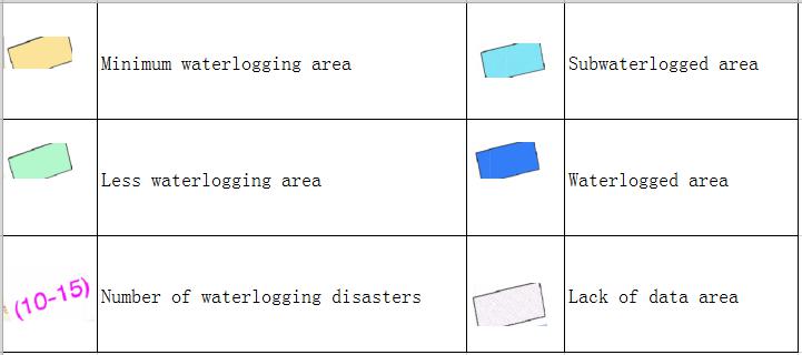
Based on WebGIS technology, the map can be online browsing, zoom, and can also be used for different map overlay operation.
Online map of the types of droughts and floods in China during 1951-1980
Date:
2020-05-07
Editor:
houxue2018
View counts:
5889
Full screen
Help edit
Category:
China Nature Disaster
Storm Flood
Drought and Hot
Save view
https://drr.ikcest.org/map/mf0dc
Central point longitude
105
Central point latitude
36
Max zoom level
7
Min zoom level
4
Current zoom level
4
Map description
Online map of the types of droughts and floods in China during 1951-1980.
Sign in
for comments!
Submit
Comment list (
0
)
Map evaluation
Map reference
Map overlay
Login
for more operation .
Correlation maps
Online map of major flood disasters in China
China's nearly 500 years drought and flood disaster online map of the rain waterlogging types of the Yangtze River Basin and North China in Southern China
Water regimen and riverway condition online map from June 6th,2010 to June 10th during the earth June's flood disaster period in South China
Online map of the difference between the late ten days' rainfall in July and the average level during the flood disaster period in Northeast China(2010)
Online map of the difference between the mid ten days' rainfall in July and the average level during the flood disaster period in Northeast China(2010)
Water regimen and reservoir and riverway condition online map from Oct 14th to 18th,2010 during the October's flood disaster period in South China
Online map of late July's rainfall from July 24th, 2010 to July 30th during the flood disaster period in Northeast China
Online map of provincial integrated disaster index for flood and geohazard in China in 2016
Recent maps
Online Map of Mauritania, Mali, Senegal, Gambia, Burkina Faso, Western Sahara
Online map of Oceania countries and regions
Online map of South Africa, Swaziland, Lesotho
Kenya, Uganda Online Map
Morocco, Algeria, Tunisia online map
Mostly reviewed maps
Historical map of the Southern Song Dynasty and the Jin Dynasty in 1208 AD
Geological Online Map of Sichuan Province and Chongqing Municipality, China
Geological Map of Shanxi Province, China
Geological Map of Guangdong Province, Hong Kong and Macao Special Administrative Regions of China
Geological online map of Taiwan Province of China
Data List
|
About
|
Contact Us
|
How to use
ICP备案号:京ICP备14021735号-1
© 2008 - 2022 IKCEST All rights reserved