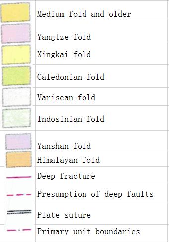
Chinese geotectonics (polycyclic theory) online map
The name of the construction unit represented by a number on the diagram:①Altai fold system, ②Erguna fold system, ③Upper Heilongjiang fold system, ④Nadanhada fold system, ⑤South China Sea platform
Comment list ( 0 )

