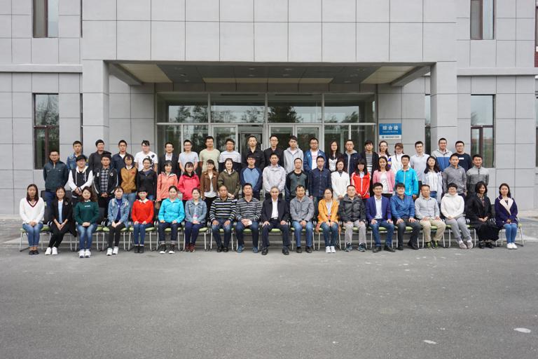
For the popularization and application of Python language development in geographic information system, five-days training about "Python Programming Oriented Geographic Information System: Data Processing, Spatial Analysis and Map Visualization" was taken from September 18th to 22nd, 2017, at Changchun, China.
The training was hosted by Bu Kun, the senior engineer of the Northeast Institute of Geography and Agroecology, Chinese Academy of Sciences. The training was supported by the Bureau of Personnel Chinese Academy of Sciences and under the auspice of the OSGeo China Chapter and UNESCO/IKCEST Disaster Risk Reduction Knowledge Service.
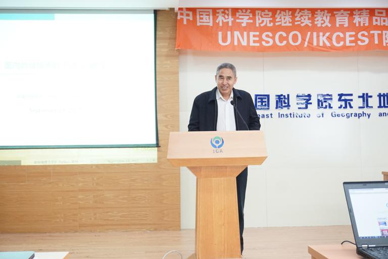
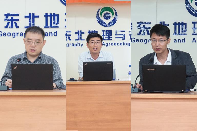
Li Xiujun, the deputy director of the Northeast Institute of Geography and Agroecology, Chinese Academy of Sciences, made a speech on the opening ceremony of the training. Three training teachers dissertated in the courses, including Bu Kun, Liu Tingxiang, the lecture of the Changchun Normal University and Song Xianfeng, the professor of University of Chinese Academy of Sciences.
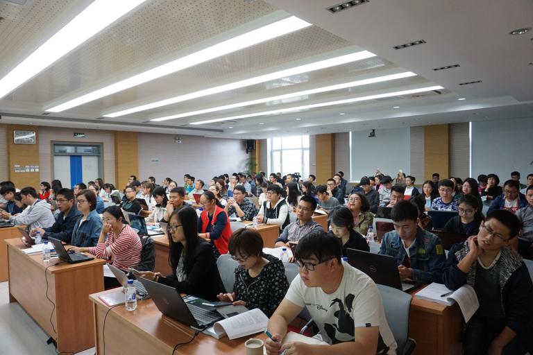
Throughout the courses, Bu Kun introduced the Python language and explained its application on open source GIS, and elaborated on the development application of UNESCO/IKCEST Disaster Risk Reduction Knowledge Service as a typical case. The elaborate technical trainings are taken by the means of lectures, answering questions and communications. All the presentations were released to the training group, including Python language, open source GIS, ArcPy script and the development and application cases of UNESCO/IKCEST Disaster Risk Reduction Knowledge Services. It made a great affection on conducting and popularizing the Disaster Risk Reduction Knowledge Service and helped students and researchers to enhance their programming capabilities and handle the basic method for geographic data processing.
The information is provided by the DRR Knowledge Service System of IKCEST.
Comment list ( 0 )

