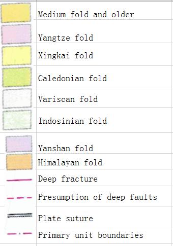
Online map of China geotectonic
The name of the construction unit represented by a number in the figure
Altai Fold System
Erguna fold system
Upper Heilongjiang Fold System
Nadanhada fold system
South China Sea Platform
Comment list ( 0 )