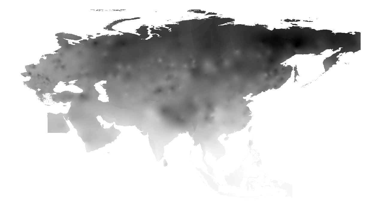
Login   |      Register
English    中文


Monthly minimum temperature monitoring data set for The Belt and Road(1989-2018)


Monthly minimum temperature monitoring data set for The Belt and Road(1989-2018)

Label :

Date: 2020-06-04

View counts: 7151

Browse document: Browse document

Download Dataset: Log in

The data set is calculated and interpolated by weather station data. The meteorological site data comes from NOAA, which includes data such as temperature, wind speed, and precipitation. The research team processes the daily weather station data into monthly data, and then interpolates through Kriging to form raster data covering the entire study area.

Topicategory
Geoscience
Language
English
Format
raster
Time begin
1989
Time end
2018
Contributor
Yang Fei,yangfei@lreis.ac.cn
Organization
Institute of Geographic Sciences and Natural Resources Research, Chinese Academy of Sciences.
Access constraints
Sharing Type: Fully opened sharing
Date creation
2020/5/28
Source
NOAA Meteorological Station Data
Distance value
The Belt and Road
Contributor agency
Institute of Geographic Sciences and Natural Resources Research, Chinese Academy of Sciences
Contributor email
yangfei@lreis.ac.cn
Country id
IN, BD, PK, LK, NP, ID, TH, MY, PH, VN, LA
Data citation
Monthly minimum temperature monitoring data set for The Belt and Road(1989-2018). Disaster Risk Reduction Knowledge Service of International Knowledge Centre for Engineering Sciences and Technology (IKCEST) under the Auspices of UNESCO,2020.5.28. http://drr.ikcest.org/info/94c12
Data record num
2160.64MB
Resperson name
Service group of Disaster Risk Reduction Knowledge Service System of IKCEST
Responsible address
A11 Datun Road, Chaoyang District, Beijing
Responsible email
ikcest-drr@lreis.ac.cn
Responsible postcode
100101
Responsible telephone
010-64889048-8006

    Sign in for comments!

Comment list ( 0 )


Information evaluation